
2014 Newsletter
- From the Chairman
- OFS Donate-a-Gate Scheme
- A Letter to You All From John and Sue Ashbridge
- Diversions, etc
- OFS Walking Holidays Over the Years
- Fund Raising
- Linear Walking on Long Weekends
- OFS Visit to St Albans
- How to Report Problems
- Bowling Evening
- OFS at the Wychwood Forest Country Fair
- Annual Outing
- OFS Goes to HF St Ives
- Membership
- Money Matters
- Walks Leaders Needed!
Diversions, etc
Strange things have been happening at LITTLE ROLLRIGHT on the d’Arcy Dalton Way. The path has been excavated leaving a cliff-face to climb, and the spoil has been placed where it obstructs the view both from the definitive line eastwards across country and from the proposed diversion across to the village. The definitive line has a fine view over the village (photo) which we wish to keep.
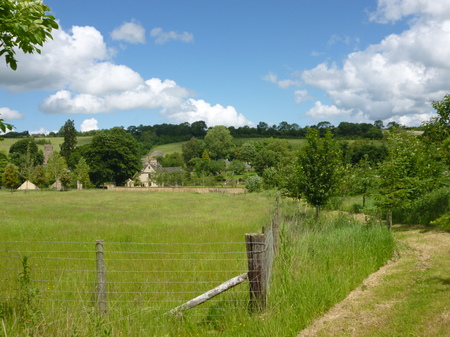 Photo: David Godfrey
The other path through the village is also the subject of a diversion, this time round the houses; the problem is that a drafting error on the 1999 Definitive Map leaves a gap at this point between the path and the public road.
The path at Uffington which has been closed by Network Rail looks like being sorted out in the not too distant future, as a proposal for a footbridge has been received.
The Vale Council has failed to produce a diversion order on UFFINGTON FP9, in a parish where at least two other paths are obstructed by housing, and we are still waiting for a diversion order at KENNINGTON where the bridge has already been built.
Proposals for minor diversions have been received at Chilling Place, Piddington, at Hobbshole Farm, Sandford St. Martin (since confirmed),and at the deer farm in Letcombe Bassett (also confirmed).
There is a planning application to build over most of THAME FP13, which is a dead end, and to extinguish this section; however, it seems that an extension to the path could be claimed.
It is likely that no order will be made for diversion at Sydenham Grange, where the Parish Council and the Open Spaces Society have reached impasse.
There is still no movement on the Chippinghurst case. The claimed path from Wolvercote to Pixey Mead, part of Charles I’s escape route in 1644, is now completely blocked at the Godstow Road end with a barbed wire fortification.
Other Matters
Cherwell District’s attempt to find its “ancient ways” revealed little that I could identify for certain. However Mill Lane, Kirtlington certainly goes back to the 12th century and the path from Islip to Wendlebury goes back to well before 1791. Elsewhere, Hardwell Lane goes back before 903 and there are several other paths which can be identified from Anglo-Saxon documents.
Some roads are also older than they look; the “rams’ ford” of 958, now known as Tittenford Bridge, is where the road leading west from Rousham Gap crosses the Dorn. A name ending in -ford denotes a road in use, but there are often problems identifying which one; Stanford-in-the-Vale may refer to a ford on the A417 or the causeway on the path to Goosey; and Shifford may refer to a ford across the Thames where there was a stone bridge in 958. There is now no trace of this road.